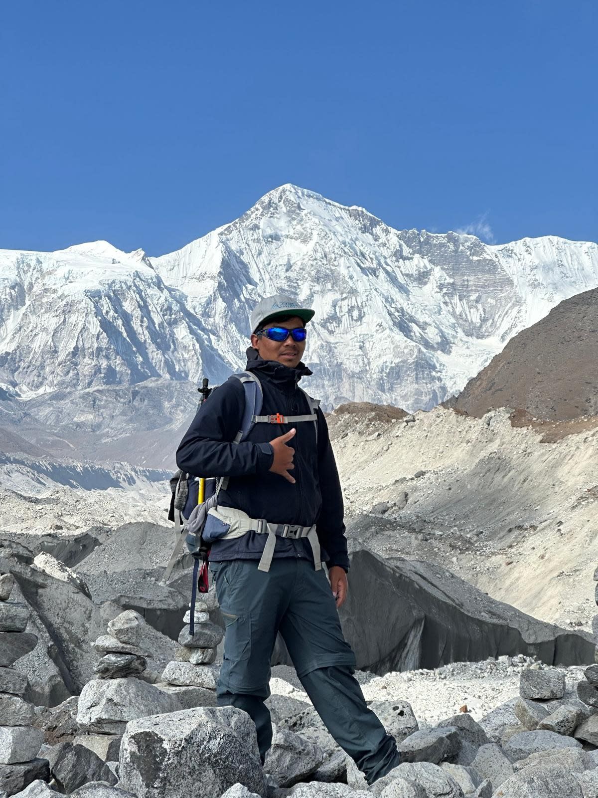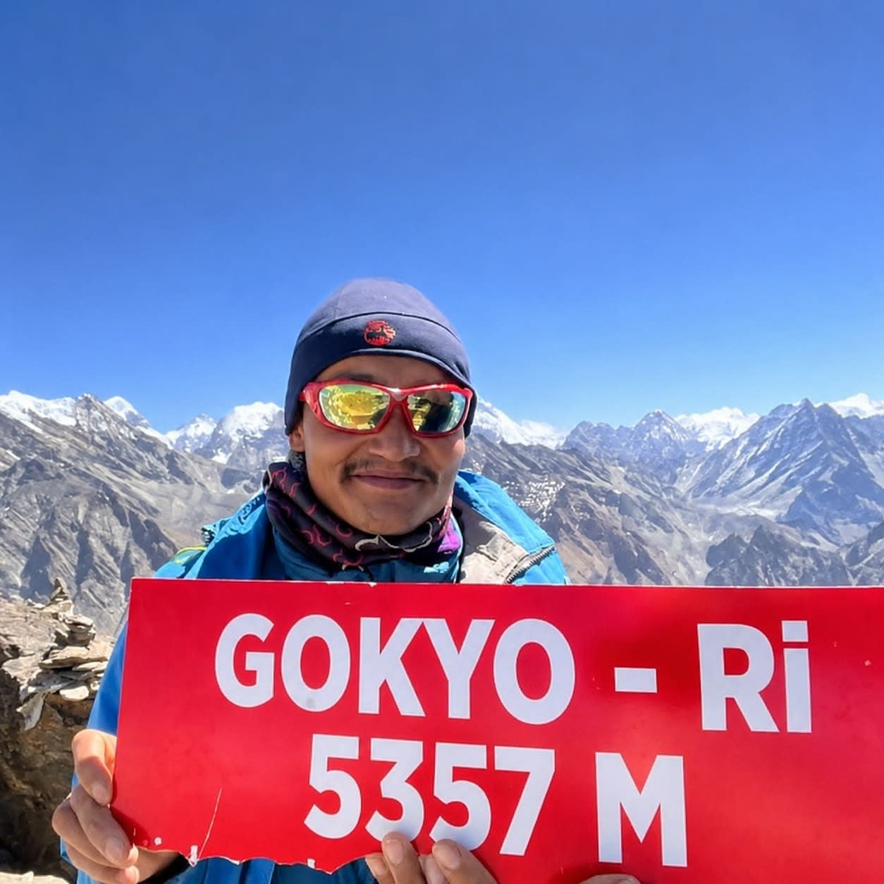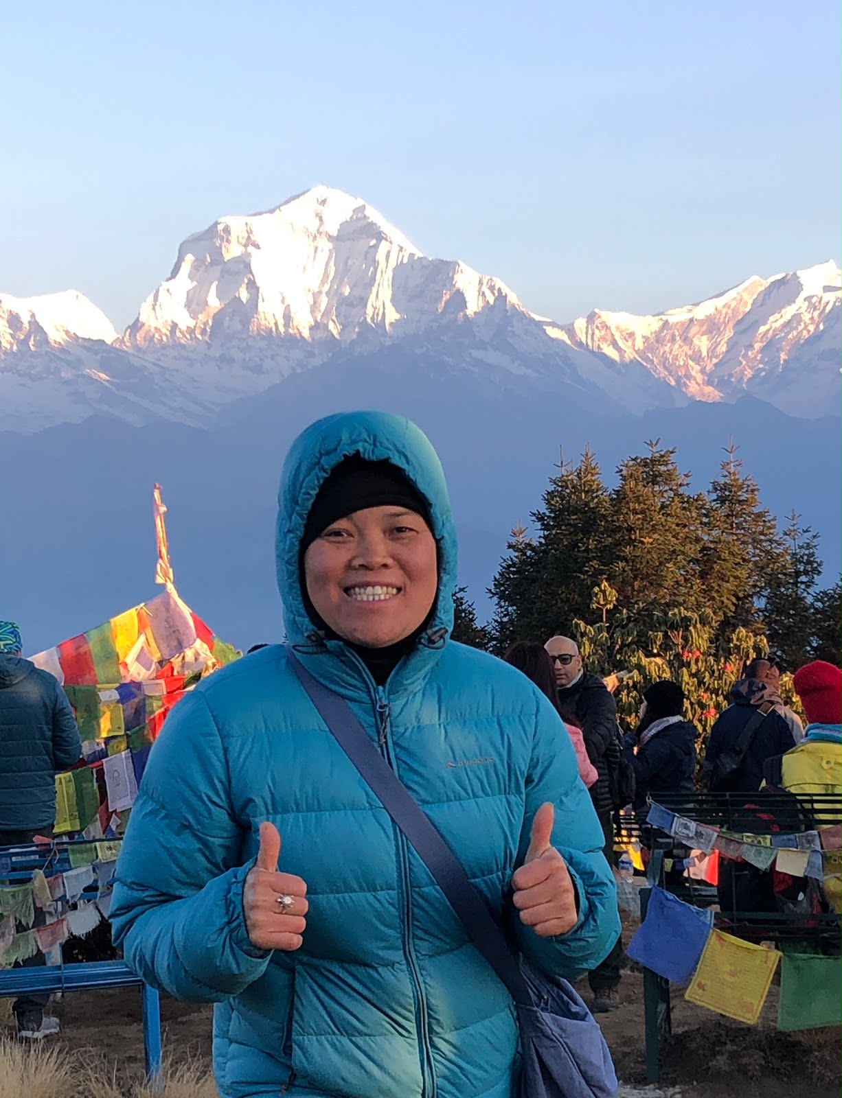
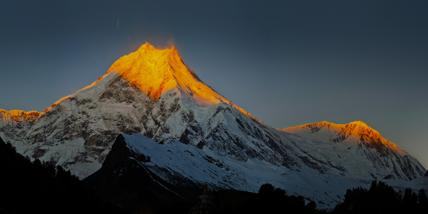
The Manaslu Circuit Trek is a 14-day loop around Manaslu (8,163 metres), the world's eighth-highest mountain. It follows the Budhi Gandaki north from Soti Khola, crosses Larkya La at 5,106 metres and comes down into the Annapurna region at Dharapani. The whole route sits inside a restricted area, and a licensed guide has been compulsory since it opened to trekkers in 1991. Since 22 March 2026 a solo trekker can get the restricted permit alone, because Nepal dropped the old two-person minimum, so nobody has to wait for a partner any more.
Below you'll find the route stage by stage, the permits with 2026 fees, costs, how hard it really is, and a day-by-day itinerary taken from our current departures.
Where does the Manaslu Circuit go?
The trail starts at Soti Khola (700 metres), seven to eight hours from Kathmandu by jeep through Arughat, on tarmac that turns into a rough track for the last stretch. From there it follows the Budhi Gandaki gorge north through subtropical forest to Machha Khola (900 metres) on day 3 and Jagat (1,410 metres) on day 4. Permits are first checked at Jagat, where the restricted zone begins.
Then Ghap, at 2,160 metres. The culture changes here. Gurung and Hindu farming villages give way to Tibetan Buddhist ones, and mani walls and prayer flags line the path. Lho (3,180 metres) gives the first full view of Manaslu. Beyond it lies Samagaon (3,530 metres), the biggest village in the Nubri valley and the trek's main acclimatisation stop.

Rest day? Not quite. At Samagaon you spend it climbing. The usual hike is four to five hours to Birendra Lake (about 4,450 metres), a glacial lake right under Manaslu's glaciers, or further up the ridge toward the base camp viewpoint. Samdo (3,875 metres) and Dharamsala (4,460 metres, also called Larkya Phedi) are the last stops before the pass, and by then the land looks like the Tibetan plateau.
Larkya La is the high point, and it's what makes the route a loop. From Dharamsala you climb roughly 650 metres over moraine to the pass, then drop 1,386 metres to Bimthang (3,720 metres) on the Annapurna side, seven to nine hours in all. Another day down through Tilije brings you to Dharapani (1,960 metres), where you meet the Annapurna Circuit trail, and then to Besisahar (760 metres) for the drive to Kathmandu.
Permits for the Manaslu Circuit: MRAP, MCAP and ACAP
You need three main permits, plus a TIMS card, and in a restricted area all of them go through a registered agency. Here are the 2026 fees.
| Permit | What it covers | 2026 cost (foreigners) |
|---|---|---|
| Manaslu Restricted Area Permit (MRAP) | Jagat to Dharapani restricted zone | USD 100/week (Sep-Nov); USD 75/week (Dec-Aug); +USD 15/day (Sep-Nov) or USD 10/day (Dec-Aug) beyond the first 7 days |
| Manaslu Conservation Area Permit (MCAP) | Conservation area, Jagat to Dharamsala | NPR 3,000 (~USD 23) |
| Annapurna Conservation Area Permit (ACAP) | Exit side of the loop through Dharapani | NPR 3,000 (~USD 23) |
| TIMS Card | Standard trekker registration | NPR 2,000 (~USD 15) |
When Nepal changed Upper Mustang's permit from USD 500 for ten days to USD 50 a day on 22 December 2025, it left Manaslu alone. The MRAP still uses its weekly price. Our 14-day itinerary spends about eight days in the zone, so in October the permit comes to about USD 115 per person.
The guide rule here is older than the nationwide one. Manaslu has required a licensed guide since it opened in 1991, so it would apply even without the April 2023 rule for conservation areas. The change that matters is group size. On 22 March 2026 Nepal dropped the two-trekker minimum for every restricted area, Manaslu included. A solo trekker can now sign up with an agency, take a guide and have the MRAP issued in their own name, which wasn't possible at any point in the previous 35 years. Our Nepal trekking permits guide compares these permits with other restricted regions.
How much does the Manaslu Circuit cost?
Our Manaslu Circuit Trek starts at USD 1,490 per person for a group of eight to ten, USD 1,540 for four to seven, and USD 1,690 for a private group of two or three. That covers all the permits, a TAAN-registered guide who knows Manaslu, one porter for every two trekkers, teahouse rooms, trail meals and the drives to and from the trail.
A solo trekker under the new rule pays a USD 800 supplement on the base price, because the guide and transport no longer get shared. Beyond the package, personal spending runs USD 14 to 30 a day for hot showers, wifi, charging and water, all dearer above Samagaon, where supplies come in on foot. Tips are pooled at the end and paid in cash on the last night. Budget about USD 15 to 20 a day for the guide and USD 8 to 12 for each porter, shared by the group. The Manaslu Circuit cost guide has the full breakdown.
Difficulty: how hard is the Manaslu Circuit?
Larkya La is the reason. You leave Dharamsala between 4 and 5 a.m., climb about 650 metres of moraine and rock to the pass in four to five hours, then descend 1,386 metres to Bimthang in another three or four. There's no water above Dharamsala.

Altitude is the real obstacle, more than the terrain, because the trail climbs steadily for a full week before the pass. The itinerary includes a rest day at Samagaon (3,530 metres) on day 8, and Samdo (3,875 metres) the next night acts as a second step. Above 4,000 metres our guides check oxygen saturation every evening, and two or more symptoms of altitude sickness mean going down at once. Read the altitude sickness prevention guide before you go, and use the Nepal trekking packing list to sort out a sleeping bag rated to minus 15°C for the night at Dharamsala. The pass is exposed and windy even in peak season.
Experience helps. Aim to have trekked to at least 4,000 metres before. Days before the pass run five to seven hours over 8 to 17 kilometres of gorge trail, climbing steadily. The whole loop covers about 177 kilometres.
Best time to trek the Manaslu Circuit
October and November are the safest months. Skies usually clear by early October, and nights at Dharamsala run minus 5 to minus 10°C, closer to minus 15°C by mid-November. March and April make the second window. Spring snow can mean microspikes for the last climb to the pass, and April is noticeably warmer.
From December to February snow and avalanche risk usually close Larkya La. From June to September landslides hit the Budhi Gandaki gorge and the snow on the pass is unstable. Neither works for a normal crossing, whatever the cheaper permit suggests. 2026 showed why. A flash flood destroyed the main bridge at Namrung on 6 September, and the circuit reopened on a temporary bridge on 9 September. Our 2026 floods update tracks current conditions.
Manaslu Circuit itinerary, day by day
Our standard trip runs 14 days from Kathmandu back to Kathmandu, with day 8 for acclimatisation at Samagaon.
| Day | Route | Max altitude |
|---|---|---|
| 1 | Arrive Kathmandu, trek briefing | 1,400m |
| 2 | Drive Kathmandu to Soti Khola | 700m |
| 3 | Soti Khola to Machha Khola | 900m |
| 4 | Machha Khola to Jagat | 1,410m |
| 5 | Jagat to Ghap | 2,160m |
| 6 | Ghap to Lho | 3,180m |
| 7 | Lho to Samagaon | 3,530m |
| 8 | Acclimatisation: Birendra Lake or Manaslu Base Camp | 4,450m |
| 9 | Samagaon to Samdo | 3,875m |
| 10 | Samdo to Dharamsala (Larkya Phedi) | 4,460m |
| 11 | Cross Larkya La to Bimthang | 5,106m |
| 12 | Bimthang to Dharapani via Tilije | 1,960m |
| 13 | Dharapani to Besi Sahar, drive to Kathmandu | 760m |
| 14 | Kathmandu, departure | 1,400m |
Side trips: Tsum Valley and the Samagaon acclimatisation hikes
Tsum Valley branches east near Lokpa. It's a separate restricted valley with its own permit and a long tradition of non-violence around the gompas of Mu and Rachen, and adding it takes about seven days. With Tsum the trip stretches to around 21 days. People with the time usually do Tsum first, then carry on over Larkya La.
The Samagaon rest day gives you two options. A four to five-hour round trip to Birendra Lake, or the steeper climb toward the Manaslu Base Camp viewpoint on the same ridge. Guides usually send strong walkers to the viewpoint, since the extra height is good training for the pass three days later.
Manaslu or the Annapurna Circuit?
Manaslu is the quieter, more Tibetan version of a classic Himalayan circuit. A few thousand trekkers cross Larkya La each year, against tens of thousands on Thorong La. You pay more in permits, sleep in plainer teahouses above Samagaon, and cross a pass 310 metres lower than Thorong La, though with fewer people to stamp a path through early-season snow. If remoteness and culture count for more than comfort and price, choose Manaslu.
Plan your Manaslu Circuit Trek
We run the Manaslu Circuit with TAAN-registered guides who know the valley, a Samagaon acclimatisation day on every departure, and all permits arranged before you land. As the trekking brand of Swotah Travel and Adventure, founded in 2016 and based in Budhanilkantha, Kathmandu, we now also book solo departures under the March 2026 rules. See the full Manaslu Circuit Trek itinerary and dates, then contact our team to pick a departure with a good window for Larkya La.
Frequently asked questions
How many days is the Manaslu Circuit?
Our standard trip is 14 days, crossing Larkya La at 5,106 metres on day 11. Adding Tsum Valley makes it about 21.
Do you need a permit for the Manaslu Circuit?
Yes. You need the Manaslu Restricted Area Permit, the Manaslu Conservation Area Permit and ACAP for the exit through Dharapani. A licensed guide is required. Since 22 March 2026, a group of two is no longer needed.
How hard is the Manaslu Circuit?
Strenuous, on a par with the Annapurna Circuit but more remote. Larkya La at 5,106 metres is the crux, and the plainer teahouses above Samagaon make it tougher still.
Related guides
More on the mountains

Founder & Lead Guide, Annapurna Trekking
AJ founded Annapurna Trekking in 2016 and has personally guided treks across Nepal ever since. More about our team →